RIVER CONDITIONS
Having enough flowing water is essential for river health and recreation.
Based on USGS study, summer flow rates at or above 19 cfs at the South Middleton gauge can be considered ecologically safe. Flows above this level are generally suitable for navigating the main stem of the river through North Reading.
Based on a USGS study, summer flow rates at or above 53 cfs at the Ipswich gage can be considered ecologically safe. Flows above this level are generally suitable for navigating the main stem of the river from Winthrop St. in Ipswich to the Ipswich River Watershed Association’s Riverbend headquarters in Ipswich.
PADDLING CONDITIONS
River conditions changing regularly due to rain, drought, and more. Checking the flow level before you head out will help ensure everyone in your party is prepared.
We keep track of Ipswich River flow levels by monitoring two United States Geological Survey (USGS) streamflow gages, which record data in real-time on the Ipswich River; one in South Middleton and the other in Ipswich. Choose the location closest to where you'll be paddling, scroll down to the first chart, "Discharge, cubic feet per second":
Once you've checked the flow level at your preferred location, refer to this chart:
Good for Beginners <150
Moderate 150 - 250
Quick and Tricky 250 - 400
Experts Only 400-500
Don’t Go Out 500+
RIVER CONDITIONS

LOW FLOWS
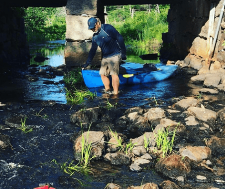
The Ipswich River is highly stressed due to low flows that are made more severe by water withdrawals. Low flows are linked to the loss of river-dependent fish, such as brook trout, and it can make shallow stretches difficult for paddling. Low flows dry up critical habitat for fish and other aquatic organisms, cause water temperatures to rise and dissolved oxygen levels to fall below critical levels for aquatic life. The Ipswich River and certain tributaries experiences long periods of low flows annually that are. made worse by water withdrawals. These periods have a long-term impact on the ability of the river to support a diverse community of life.
WATER QUALITY
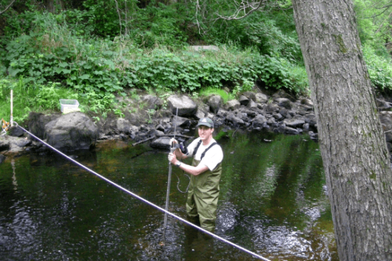
The RiverWatch volunteer monitoring program assesses the health of the Ipswich River. Volunteers collect data monthly from March-December, with measurements taken at 35 sites across the watershed. The data collected includes dissolved oxygen, water temperature, conductivity, chloride, depth, velocity, weather conditions, water color, clarity and odor.
Low flows can result in water quality problems. Higher temperatures in summer, combined with less water result in dissolved oxygen levels well below the state standard of 5 mg/L. Volunteer water quality monitors consistently observe dissolved oxygen levels below this level during the summer when flows are lowest. Prolonged low flows can lead to fish kills and volunteer monitors have also observed a loss of diversity and abundance among aquatic macroinvertebrates (mostly insects). The data collected by volunteers are used to create a River Health Index.
STATE OF THE WATER TRAIL
We keep track of Ipswich River flow levels by monitoring two United States Geological Survey (USGS) gages which record streamflow data in real-time at two locations on the Ipswich River; near the South Middleton and Willowdale Dams. This is a good way to assess whether flows are above or below ecological protection levels (is there enough water for fish and other aquatic organisms?) and whether there is enough water to paddle certain stretches of river that are flow dependent.
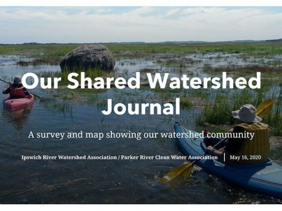
You can help create up-to-date information on the Ipswich River Water Trail by adding images and comments on Our Shared Watershed Journal, created by PIE-Rivers Partnership volunteer Ann Witzig. This interactive map tool, which covers the Parker, Ipswich and Essex river watersheds, lets you post about hazards, low flows, or just share a great paddle! Use this tool or email [email protected] to notify us and our River Warden volunteers, about obstructions or other notable conditions that may impact paddling on the river.
