PADDLE
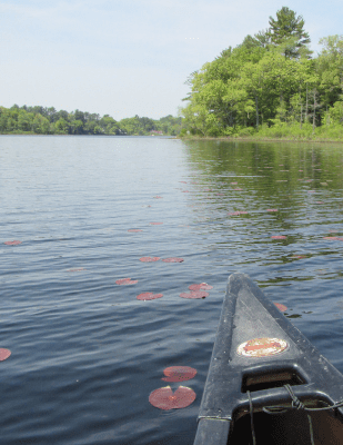
The Ipswich River is one of the best rivers for paddling in eastern Massachusetts, scenic and peaceful. Members are also able to use our boats for free! Join today.
IPSWICH RIVER WATER TRAIL
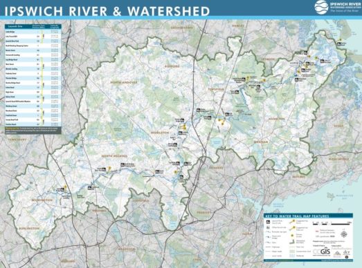
The Ipswich River is one of the largest paddling destinations in Massachusetts. Located in Middlesex and Essex Counties, the river flows for 45 miles between its headwaters in Burlington, then flows through Wilmington, Reading, North Reading, Middleton, Peabody, Topsfield, Hamilton and finally Ipswich where it empties into the Great Marsh. The river is mostly flat-water, with a few riffles that are especially great in the spring. With a few exceptions, the river is free from development along most of its course. Below are some suggested paddling routes–you can link multiple routes together or even challenge yourself to complete the long haul by paddling the entire river!

Ipswich River members get a free Ipswich River Water Trail paddling guide on water-resistant tree-less paper. You can also download the map on the Avenza app for free!
PADDLING AT RIVERBEND
Our headquarters in Ipswich, named Riverbend, is a great place to paddle and explore the river! Take a virtual paddle with Keith of Newbury Kayak & Canoe in the video to the left.
- We don’t rent our kayaks and canoes, but members can use them for free anytime.
- Boats are available on a first-come, first-served basis; reservations not required.
- We supply the paddles and life jackets.
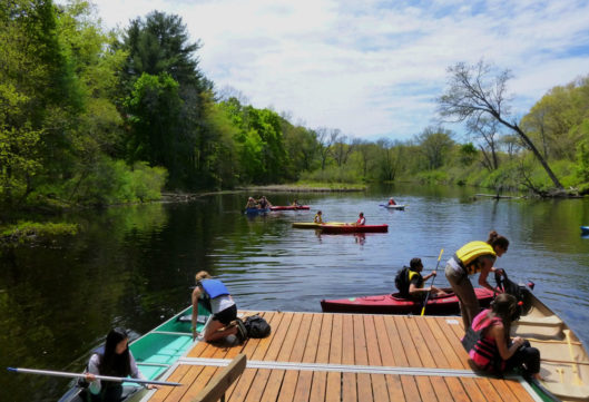
- From Riverbend, you can paddle 1 mile downstream to the Ipswich Mills Dam or, depending on the water level, go upriver for miles.
Want to notify the Ipswich River community about blow-downs and other obstacles? Connect with us on social media!
RIVER CONDITIONS
The river is mostly flat-water, with a few riffles that are especially great in the spring. With a few exceptions, the river is free from development along most of its course. Below are some suggested paddling routes–you can link multiple routes together or even challenge yourself to complete the long haul by paddling the entire river!
Before planning your paddle trip, visit our River Conditions page for up-to-date information on river flow.
PADDLING ROUTES
UPPER WATERSHED
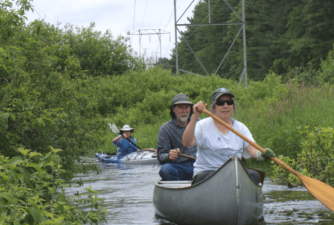
The upper Ipswich Watershed is a good place to explore by small kayak, because of many tight turns. It is typically navigable in spring to early summer, but is often extremely low or even dry in late summer to early fall. It is great for spring birding trips!
MID WATERSHED
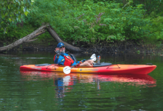
Middleton is graced by three leagues of river with dozens of wildlife habitats. Paddlers coming from North Reading pass through a long shady canyon of mature trees that opens into a vast sunny marsh through which the channel meanders. Midway, travelers again enter the shade, into Topsfield. Beaver meadows and signs abound throughout.
LOWER WATERSHED
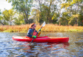
The lower Ipswich is one of the most beautiful paddles in Massachusetts. You’ll pass by estates and farmland, an outstanding wildlife sanctuary, state park and forest and other protected land. Though mostly flatwater, there are a couple of swifter sections for your paddling enjoyment.
COASTAL
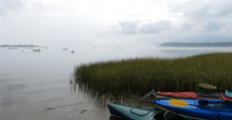
The Great Marsh of northeastern Massachusetts, one of the most productive ecosystems in the world, includes the Ipswich River estuary, where the river winds its last few miles through great expanses of Spartina grasses, amidst forested coastal drumlins, leading to stunningly beautiful coastal beaches.
LAKES & PONDS
Quite a few lakes and ponds in the Ipswich have access points for canoes and kayaks.
- Berry Pond, North Andover
- Brackett, Collins and Field Ponds, Andover
- Four Mile Pond, Boxford
- Frye Pond, Andover
- Hood Pond, Ipswich
- Martins Pond, North Reading
- Prichard Pond, Middleton
- Silver Lake, Wilmington (canoe rentals available)
- Spofford Pond, Boxford
- Stearns Pond, North Andover
- Stevens Pond, Boxford
- Stiles Pond, Boxford
