Ever wonder what goes into protecting our watershed from the pressures associated with rapidly rising development rates? Well, it’s complicated. The Massachusetts Wetlands Protection Act (WPA )is known nationally as one of the most effective waterways protection laws in the country. The WPA is our state’s primary waterways protection, but within the law is a less known provision known as the Riverfront Area. This affords an added layer of protections for land along rivers and streams. At the heart of the provision is one critical step: delineating the Riverfront Area.
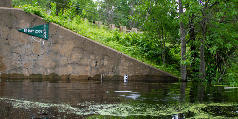
The Riverfront Area is an official term defined by the Massachusetts Department of Environmental Protection (DEP) as the area “measured from each side of the river from the mean annual high water line outwards horizontally and parallel to the river.” For both the river and its sensitive ecosystem, this area is critical to properly identify and protect.
Incorrect Riverfront Area delineation may only capture a portion of these important areas. Developers are increasingly exploiting some ambiguity in the rules to determine the Riverfront area measured from the seasonal low water line as opposed to the mean annual high water line.
We are involved in disputes on defining the Riverfront Area for development proposals in three of our watershed communities – Wilmington, North Reading, and Topsfield. With local and statewide partners, we’re working to fix this erroneous methodology. Statewide policy is needed to ensure that local Conservation Commissions and the DEP must enforce the rules to determine these critical areas properly. We simply cannot accept any backsliding on these important rules that protect our Rivers!
So what is the distance from mean high water mark within which these “riverfront areas” are defined? How is that distance determined, and what are its variations? It seems to me that this question cries out for an answer…
The regulated “Riverfront Area” is defined as 200 feet measured from the Mean Annual High water mark horizontally along the river. thanks
A diagram might help the uninitiated, like me, to better understand this concept. Thanks
I live in Topsfield so let me know if there is anything I can do to support our position: before CC, Town Meeting, etc.
John Hart
18 Walker Road
Topsfield 01983
603 770 2257
[email protected]
will do! thanks John!
Parallel to the river makes perfect sense. If you see a development project with a non-parallel delineation, it is probably bogus. We have seen one such incongruity here in Topsfield, that is now corrected.
Clear delineation, setback definitions, zoning by-laws, and impact of proposed usage are essential considerations to protect all rivers from development projects such as the one being contested in North Reading.