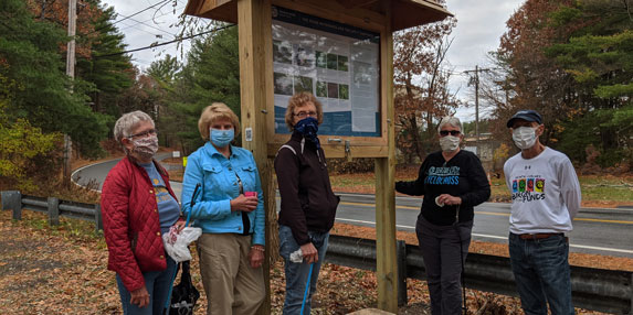
Above from left Susan Piccole, Pam Hartman, Judy Reynolds, Claudia Johnson, and Richard Gilman install the interpretive posters in the Ipswich River Water Trail kiosk recently installed at Boston Street.
A new canoe landing kiosk was recently installed at the Independence Greenway Ipswich River trailhead located at Russell St on the Peabody/Middleton/Lynnfield town line. The informational kiosk links Peabody into the Ipswich River Water Trail, a two-year cooperative trail project funded by the MA Department of Conservation and Recreation’s Recreational Trails Program. This phase of the Water Trail project sought to improve recreational access to the Ipswich River through signage, print and digital maps, and additional landings. Improvements will be completed this fall, already four of five new kiosks have been installed on the river and upgraded interpretive posters at all 19 kiosks on the trail are being installed by volunteers.
On Tuesday, October 27th Executive Director Wayne Castonguay led a walk on the Independence Greenway to commemorate Peabody’s joining the larger Water Trail. “This site has special meaning for me as it is where my dad brought me fishing for the first time as a child which ignited my life-long passion for rivers,” says Wayne.
If you missed the walk, try exploring the Greenway this fall, and look out for our posted QR codes, another element of the Water Trail project. While enjoying autumn birding and fall foliage along a riparian forest stretch of the Ipswich River, use your smartphone to access trail-curated content to learn while you explore. The codes are posted at various points on the river and associated land trails. The content can be accessed by using your phone’s camera function, a url should appear when you hover over the code.
One important feature along the Independence Greenway is Norris Brook, a tributary that flows between the river and Crystal Pond. In another collaboration between IRWA and the City of Peabody, stream crossing signs for Norris Brook will be posted at three locations, including the Russell St trail crossing.
You’ll also pass the Peabody Canal which is one of America’s oldest water works and the primary source of Peabody’s drinking water used to fill Winona Pond and Suntaug Lake. Peabody is one of 13 communities that rely on a clean and healthy Ipswich River watershed for their water. You can find more information like this through QR codes we’ll be posting across this Ipswich River Water Trail. If you’d like to support more work like this along with the future of clean, reliable water, please give what you can to the annual appeal today!